Celonis Product Documentation

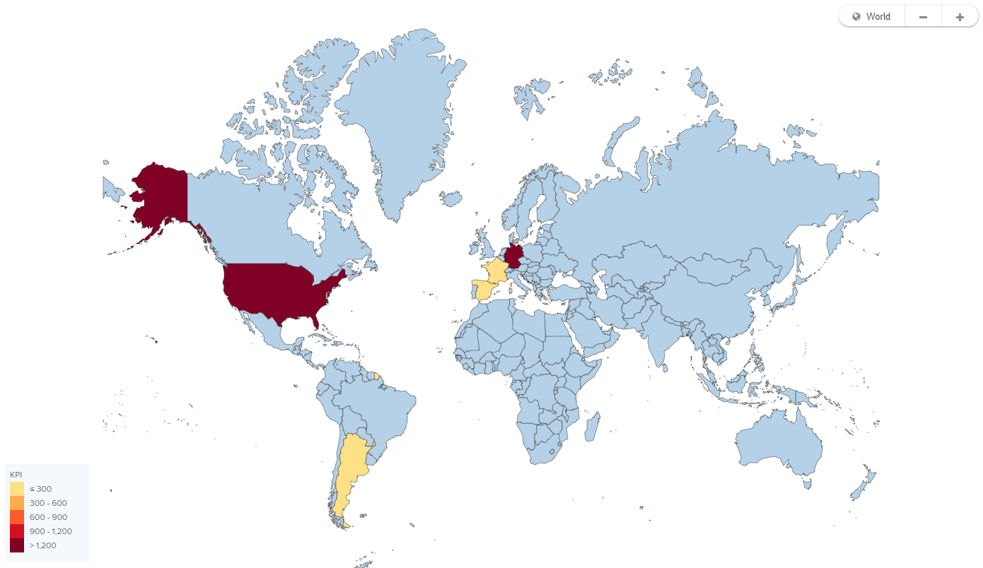
World map

Display your data based on geographical locations.

world_map_example.png
Configuring a world map
Example Configurations
- id: worldmap_widget
  type: world-map
  knowlegdeModelKey: MY_MODEL #this is optional, default is View's KM
  settings:
    name: WorldMap
    interactions:
      legend: add legend label here
      tooltip: CUSTOMER_LAND # text to be shown
    countries: CUSTOMER_LAND # required, list of ISO codes representing countries
    kpi: KPI_DAYS_SALES_OUTSTANDING # required
    color: #optional
      thresholds:
      - 49
      - 52
      - 55
      - 60
      scheme: SEQUENTIAL_BLUES_REVERSE

You can either rely on a default, a color scheme or define custom thresholds to build the color-coding:

  • If no color setting is specified at all: default scheme and the scaleQuantize.

  • If only thresholds are defined: default scheme and the scaleThreshold.

  • If only a scheme is defined: given scheme and the scaleQuantize.

  • If both are defined: given scheme with scaleThreshold.

Number Thresholds
- id: worldmap_widget
  type: world-map
  settings:
    title: World Map with Threshold
    interactions:
      legend: This is the legend label
      tooltip: VALUE
    countries: COUNTRY 
    kpi: VALUE
    color: 
      thresholds:
      - 50
      - 52
      scheme: SEQUENTIAL_PINK
Knowledge Model References as Thresholds
- id: worldmap_widget
  type: world-map
  settings:
    title: World Map with Threshold
    interactions:
      legend: This is the legend label
      tooltip: VALUE
    countries: COUNTRY 
    kpi: VALUE
    color: 
      thresholds:
      - THRESHOLD_1
      - THRESHOLD_2
      - THRESHOLD_3
      - THRESHOLD_4
      scheme: SEQUENTIAL_PINK